
Wanderung Pécian 02.07.2017
Wanderung Pécian
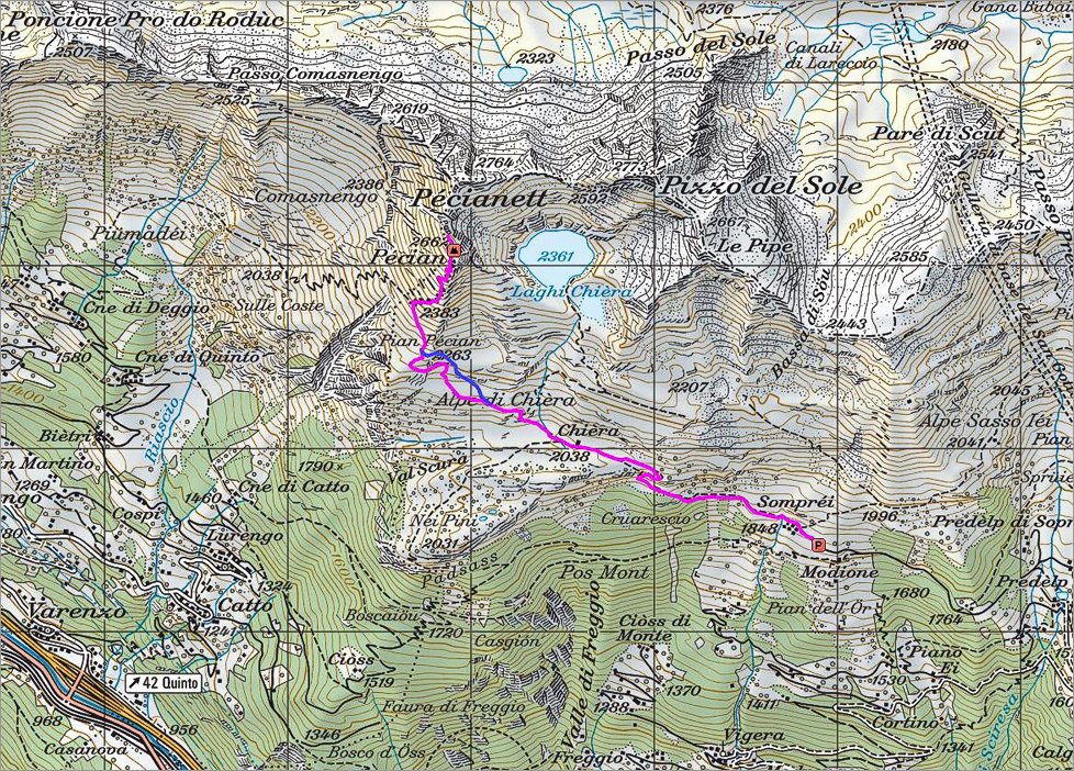 Die Wanderroute |
 2 of 25 Valle Leventina  Valle Leventina |
 3 of 25 Start vom Parkplatz in der Nähe von Sompréi Start vom Parkplatz in der Nähe von Sompréi |
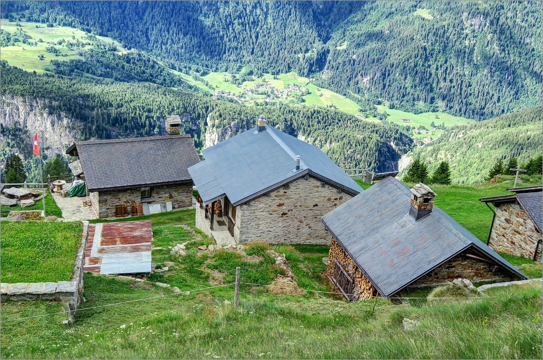 4 of 25 Das Bergdorf Sompréi Das Bergdorf Sompréi |
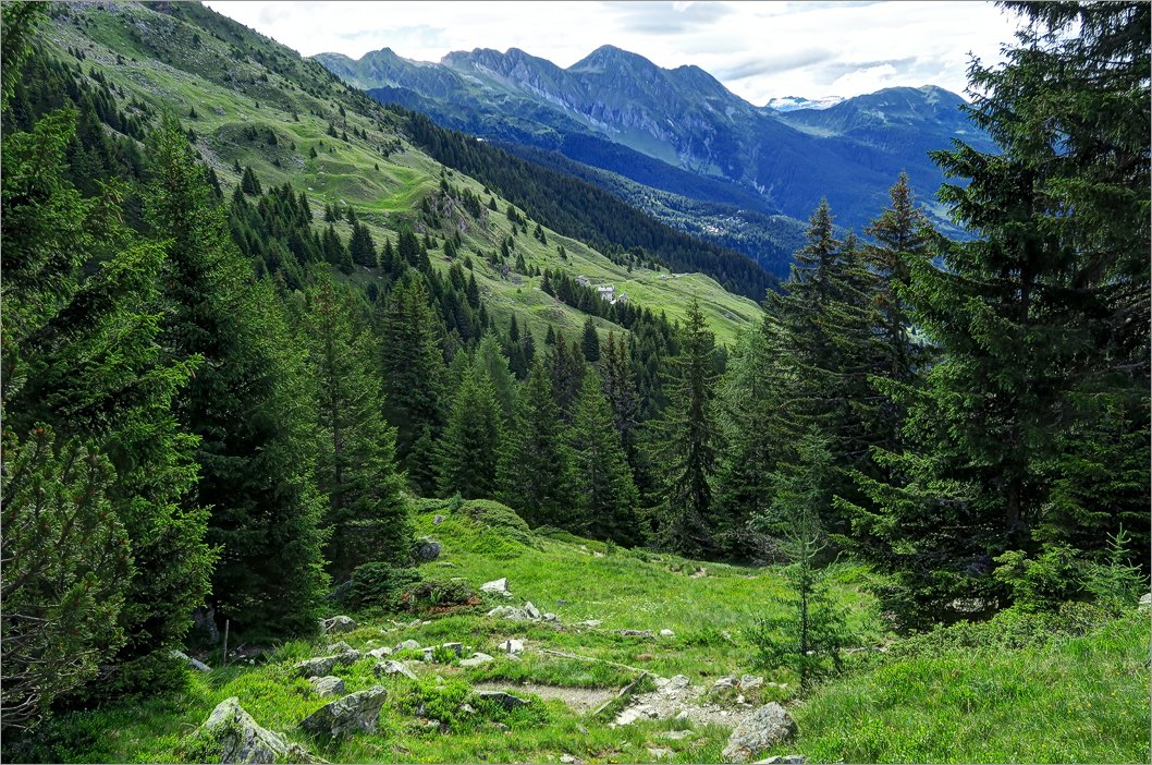
 5 of 25 Zuerst Richtung Wald Zuerst Richtung Wald |
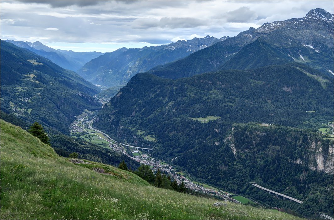
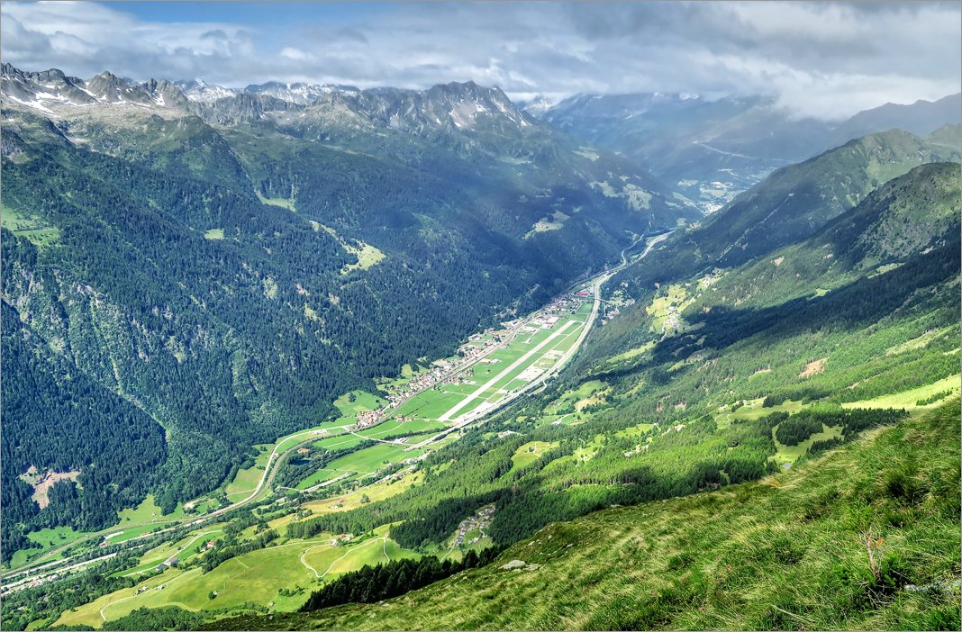
 6 of 25 Die andere Seite von Valle Leventina Die andere Seite von Valle Leventina |
 7 of 25 Blick zurück zum Sompréi - Startpunkt der Wanderung Blick zurück zum Sompréi - Startpunkt der Wanderung |
 8 of 25 Die Waldzone ist bereits unten Die Waldzone ist bereits unten |
 9 of 25 Antene auf dem Schulter und die andere Seite von Valle Leventina Antene auf dem Schulter und die andere Seite von Valle Leventina |
 10 of 25 Solider Tisch mit Blick auf Airolo und Gotthardpass Solider Tisch mit Blick auf Airolo und Gotthardpass |
 11 of 25 Valle Leventina vom Wanderweg aus Valle Leventina vom Wanderweg aus |
 12 of 25 Das Gipfelkreuz ist nicht sehr weit Das Gipfelkreuz ist nicht sehr weit |
 13 of 25 Auf dem Gipfelkreuz Auf dem Gipfelkreuz |
 14 of 25 Laghi Chièra vom Pécian aus Laghi Chièra vom Pécian aus |
 15 of 25 Das mächtige Gipfelkreuz und viel Nebel Das mächtige Gipfelkreuz und viel Nebel |
 16 of 25 Der Grat zum Nachbar-Gipfel - Pécianett Der Grat zum Nachbar-Gipfel - Pécianett |
 17 of 25 Auf dem Gipfel von Pécian Auf dem Gipfel von Pécian |
 18 of 25 Pécianett Pécianett |
 19 of 25 Pizzo del Sole und Laghi Chièra Pizzo del Sole und Laghi Chièra |
 20 of 25 Views von Pécian Views von Pécian |
 21 of 25 Valle Leveltina - Blick Richtung Bellinzona Valle Leveltina - Blick Richtung Bellinzona |
 22 of 25 Abkürzung im Absieg Abkürzung im Absieg |
 23 of 25 Schöner Bach bringt am Ende sein Wasser in den grossen Ticino Schöner Bach bringt am Ende sein Wasser in den grossen Ticino |
 24 of 25 Der Schnabel von Pécian Der Schnabel von Pécian |
 25 of 25 Blick am Nachmittag zum Startpunkt der Wanderung Blick am Nachmittag zum Startpunkt der Wanderung |
Datum
02.07.2017Ziel
Pécian (2662m), ► siehe auf der Karte .Koordinaten
WGS 84 (lat/lon): 46.521453, 8.753875CH1903 / LV03: 700920, 153084