Home
Aktuell
Touren
Nach Datum
Auf Google Map
SlideShows
Panoramas
Wanderung Napf 03.07.2016
Home
»
Touren
»
2016
» Wanderung Napf 03.07.2016
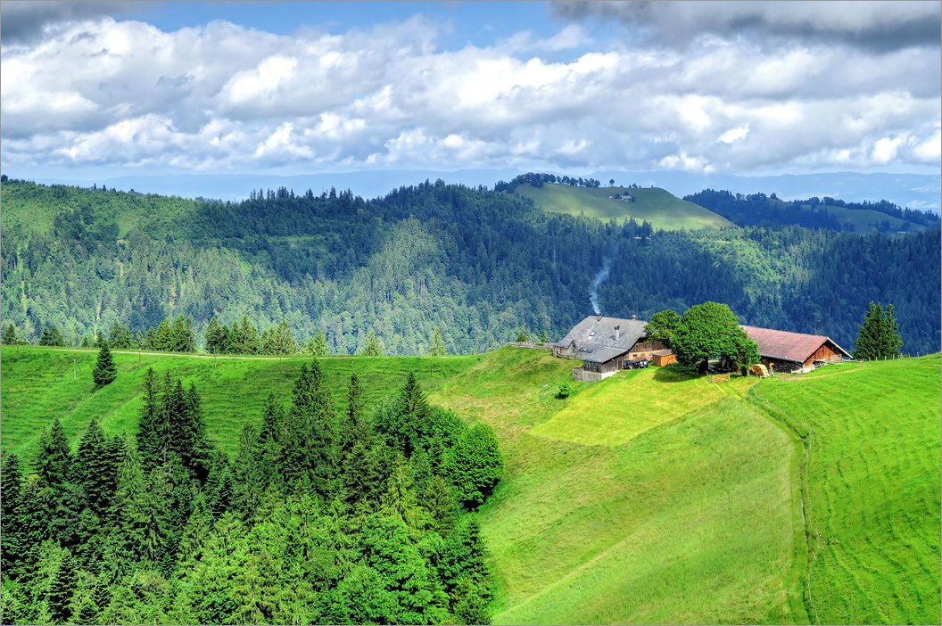
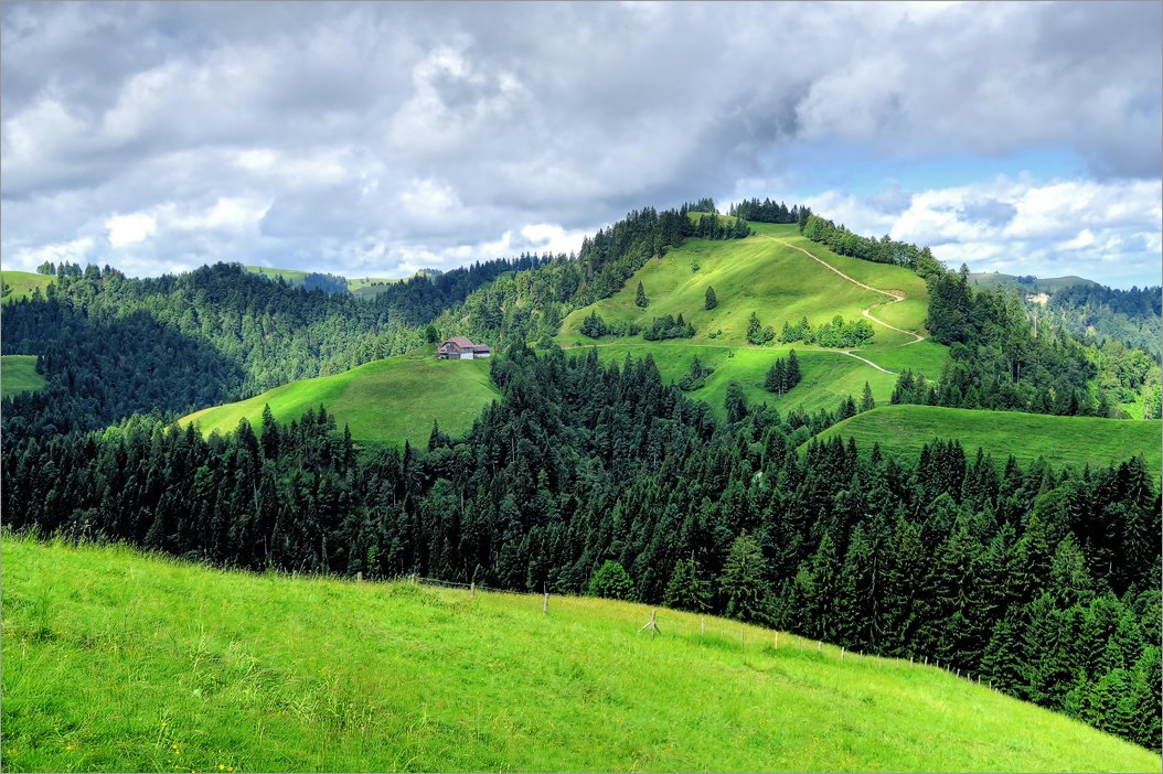
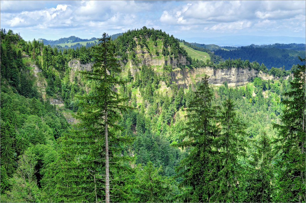
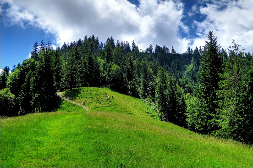
Wanderung auf Napf im Entlebuch an der Grenze von Kt. Bern und Luzern
Fotos
Tourdaten
1 of 12
Datum:
2016.07.03 09:57:13
2 of 12
Datum:
2016.07.03 10:27:16
3 of 12
Datum:
2016.07.03 10:27:34
4 of 12
Datum:
2016.07.03 10:32:46
5 of 12
Datum:
2016.07.03 11:14:22
6 of 12
Datum:
2016.07.03 11:49:02
7 of 12
Datum:
2016.07.03 11:52:56
8 of 12
Datum:
2016.07.03 12:01:12
9 of 12
Datum:
2016.07.03 12:11:40
10 of 12
Datum:
2016.07.03 12:12:34
11 of 12
Datum:
2016.07.03 12:49:42
12 of 12
Datum:
2016.07.03 12:53:52
Datum
03.07.2016
Ziel
Napf (1406m),
► siehe auf der Karte
.
Koordinaten
WGS 84 (lat/lon): 47.00365, 7.93985
CH1903 / LV03: 638118.0, 205965.0
Region
Kt. Bern / Luzern
Ausgangspunkt
Parkplatz in Luthern Bad.
Route
► Siehe GPS Track auf Topo-Karte
Hoehenmeter
ca. 650m
Strecke
8km
Schwierigkeit
T2
Karten
► map.geo.admin.ch
Herunterladen
► GPS Track als kml-File für Google Earth
(mit rechten Maustaste "Save Link/Target as").
Home
Sitemap
Nutzungsbedingungen
Suche
Copyright © 2003-2023 edaskliokys.ch. All Rights Reserved.