Home
Aktuell
Touren
Nach Datum
Auf Google Map
SlideShows
Panoramas
Wanderung Hellchoepfli 17.07.2016
Home
»
Touren
»
2016
» Wanderung Hellchoepfli 17.07.2016
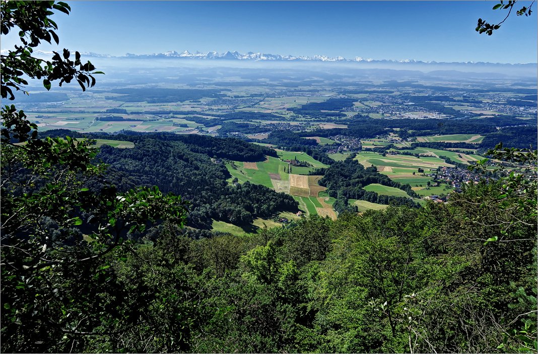
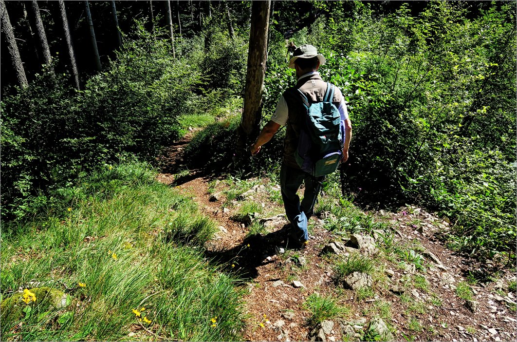
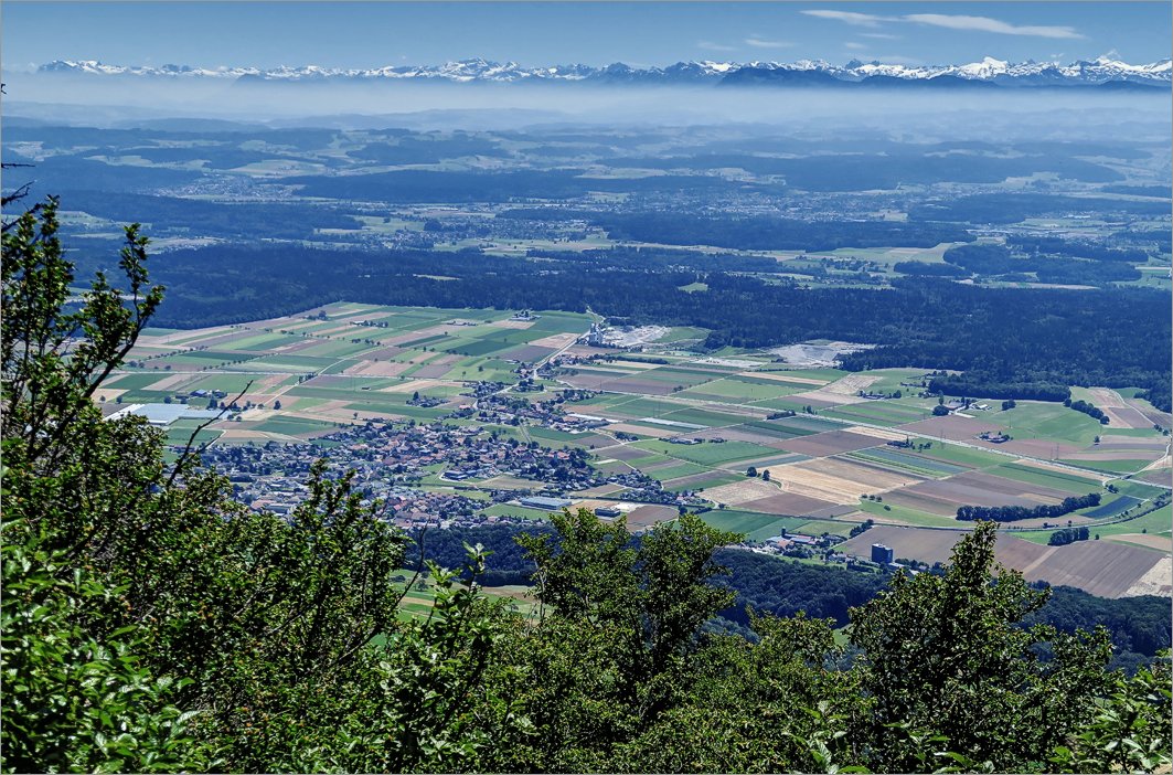
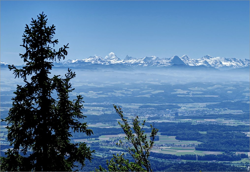
Wanderung auf Jura and der Grenze von Kt. Bern und Solothurn
Fotos
Tourdaten
1 of 9
Datum:
2016.07.17 10:01:26
2 of 9
Datum:
2016.07.17 10:25:15
3 of 9
Datum:
2016.07.17 10:35:46
4 of 9
Datum:
2016.07.17 10:39:01
5 of 9
Datum:
2016.07.17 11:04:37
6 of 9
Datum:
2016.07.17 11:05:57
7 of 9
Datum:
2016.07.17 11:06:14
8 of 9
Datum:
2016.07.17 12:44:56
9 of 9
Datum:
2016.07.17 12:45:50
Datum
17.07.2016
Ziel
Hällchöpfli (1230m),
► siehe auf der Karte
.
Koordinaten
WGS 84 (lat/lon): 47.28209, 7.64881
CH1903 / LV03: 615902.0, 236820.5
Region
Kt. Bern / Solothurn, Balmberg / Wolfisberg
Ausgangspunkt
Parkplatz auf dem Balmberg und in Wolfisberg.
Route
► Siehe GPS Track auf Topo-Karte
Strecke
14.5km
Schwierigkeit
T2
Karten
► map.geo.admin.ch
Herunterladen
► GPS Track als kml-File für Google Earth
(mit rechten Maustaste "Save Link/Target as").
Tour mit
Bernard
Home
Sitemap
Nutzungsbedingungen
Suche
Copyright © 2003-2023 edaskliokys.ch. All Rights Reserved.