
Skitour Laucherenstöckli 31.12.2013
Skitour Laucherenstöckli 31.12.2013


Datum
31.12.2013Ziel
Laucherenstöckli (1756m), auf der Karte .Koordinaten
WGS 84 (lat/lon): 47.004837, 8.765765CH1903 / LV03: 700923, 206829
Region
Kt. Schwyz, OberibergAusgangspunkt
Parkplatz am Rand des Walds oberhalb von Oberiberg Richtung Ibergeregg.Route
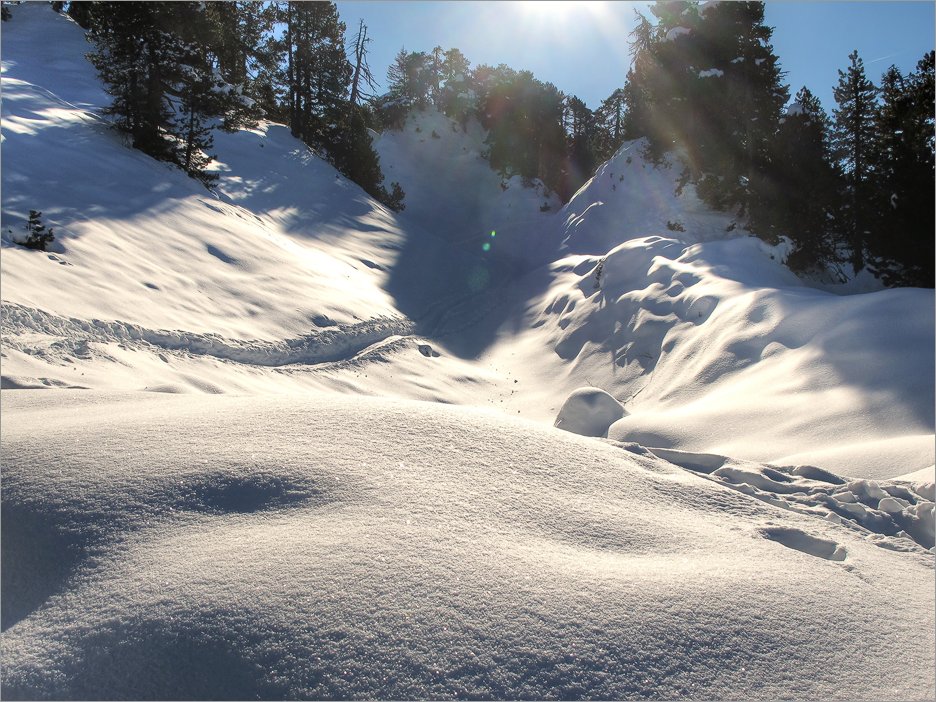
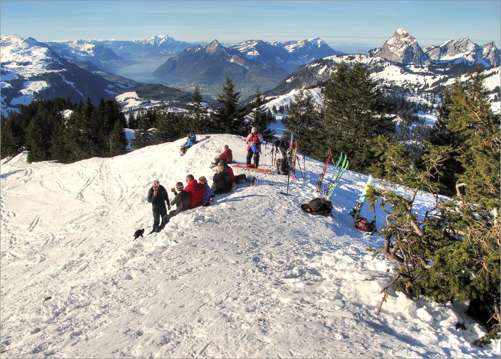
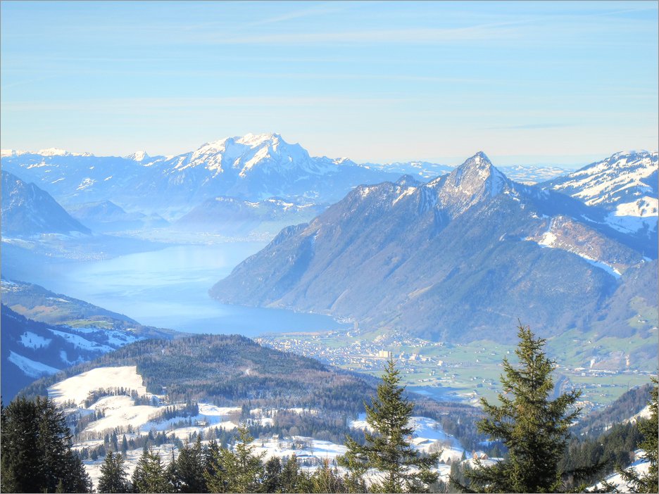
Aufstieg: P. 1254m - Buofenwald - Mördergruebi - Bergstation der Seilbahn - Nordgipfel 1753m - Südgipfel von Laucherenstöckli (1756m).Abfahrt: Über Alt Stafel - Ober Wandli.
Hoehenmeter
ca. 650mStrecke
7.2kmSchwierigkeit
LGPS Track
GPS Track auf Topo-KarteKarten
map.geo.admin.chHerunterladen
GPS Track als kml-File für Google Earth (mit rechten Maustaste "Save Link/Target as").Gleiche Touren
Skitour Laucherenstöckli 2013Skitour Laucherenstöckli 2012
Skitour Laucherenstöckli 2011
Skitour Laucherenstöckli 2010